Las Vegas can be translated as The Meadows, indicating that a settlement was built here because of the fertile, flat land and the availability of water. In the past this was a bountiful agricultural area producing potatoes and vegetables and full of fruit trees and vines. Today, the remains of that agricultural activity are usually used by self-sufficient farmers and grow alongside scrub and pine forest.
After leaving behind the Pino Las Jabas Recreation Area, which was used in the past as a drying area for fruits produced in this zone, principally figs, the route starts to descend along a winding cobbled road. Keep an eye out as you set out and you will see traditional ovens, water collection cisterns, cave-houses and channels for irrigation (known as atarjaeas).
You will walk across many channels and ridges, alongside beautiful cultivated areas which are now abandoned, until you cross over the El Seco gully, after which you will climb up to the ridge of Lomo El Seco. Once you are at this point, the climb up the mountainside will take you to Casa El Seco, where you can still see the remains of a traditional house and oven.
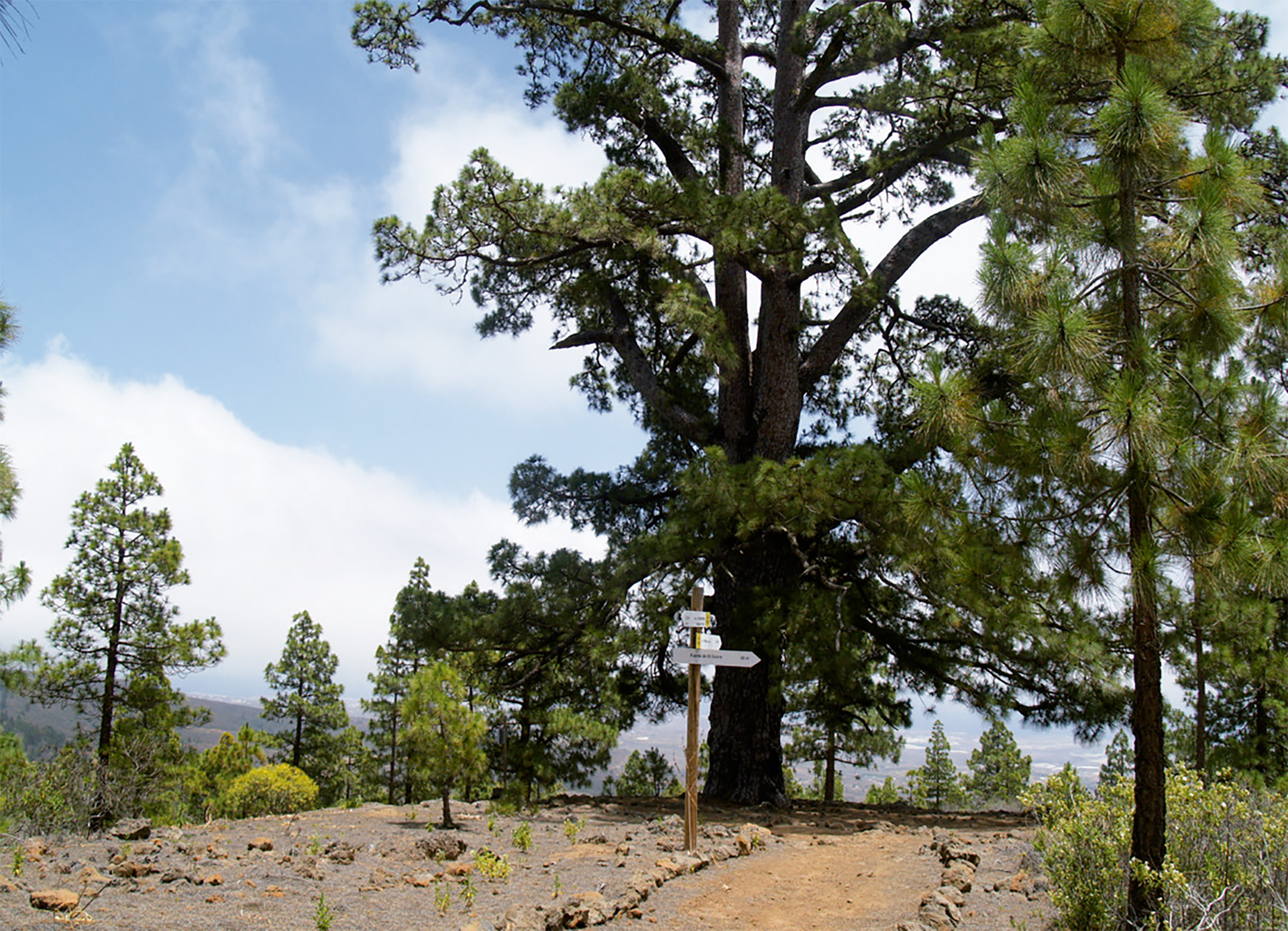
Now we are in the pine forest and the large pinetree known as el Pino del Guirre can be seen towering above its neighbours. Walking around this huge specimen is truly impressive. A few minutes later we will pass by the Montaña de Tames and then cross the Herrera gully to finish our walk in El Aserradero, where in the past wood for fuel as well as for building and carpentry was cut and collected. At this point the trail merges with the PR- TF 83.1 which leads to Risco del Muerto.
 Points of interest:Las VegasRavine of El SecoCasa El SecoPino del GuirreTames mountainEl Aserradero
 Start: Las Vegas
 End: El Aserradero
 Length: 6,6 Km
 Signage: Short-distance Paths (PR)
 Positive elevation: 557 m
 Negative elevation: 92 m


