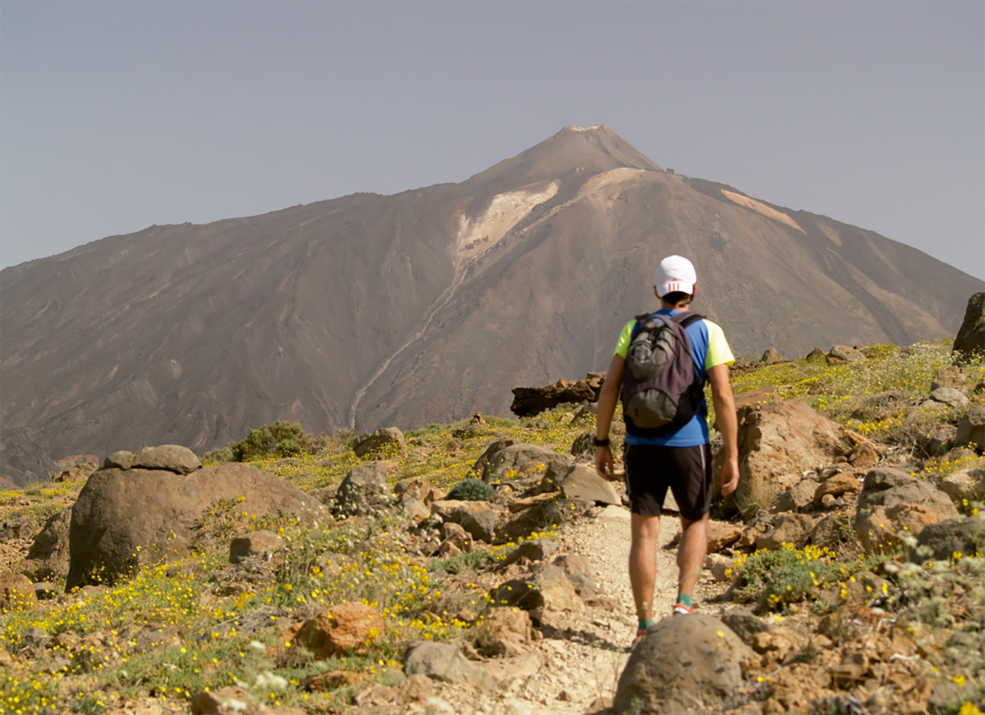
This ascent begins from the Degollada de Guajara which can be reached easily from the inland area of Teide National Park on route 5 of the Park Network of tracks, or along the GR-131 mentioned earlier in this guide.
Once you have arrived at Degollada de Guajara the narrow track begins to climb up the eastern slope of this great mountain to its peak at 2,715 metres. At the summit, take some time to enjoy the panoramic views. To the north: the volcano of El Teide, the highest mountain in Spain and icon of the Canary Islands and a UNESCO World Heritage Site. Old lava flows snake down its slopes, and at its foot, wide plains that were the old grazing areas of the highlands. To the south: the region of Abona and the southeast coast of Tenerife. If you are lucky enough to be there on a very clear day, you might see the neighbouring island of Gran Canaria.
You will see that on the peak there are still remains of an old building. This is what is left of the first astronomy observatory in the world to be built in the high mountains, by C. Piazzi Smith in 1856. In the 20th century (in 1910) it was reused by J. Mascart for his sightings and photographing of Halley’s Comet. As you can see, this peak is of great historic importance because of its great importance for astronomy.
You now drop down to the west, walking among the typical vegetation of the highlands of Tenerife with its gorse, stocks, rosalillos, and if you look hard, maybe even a Canary Island cedar.
Once you cross the La Bocaina pass you will see la Degollada de Ucanca in the distance, from where you can extend your walk by following route no 31 from the park network which will take you to either the Parador Nacional hotel or to the peaks of Ucanca, depending on your choice.
 Points of interest:Degollada de GuajaraAlto de GuajaraLa BocainaDegollada de Guajara
 Start: Degollada de Guajara
 End: Degollada de Guajara
 Length: 3,7 Km
 Signage: Path Network of P. N. del Teide
 Positive elevation: 335 m
 Negative elevation: 332 m


